
An orthophoto
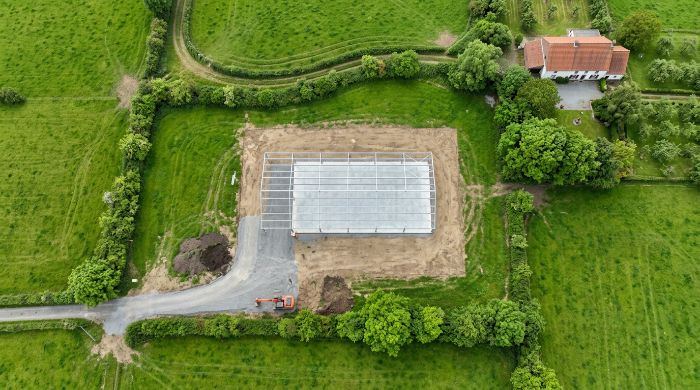
One flat, sharp image of the whole site, stitched from the flight. The driveway, the drain line and the slab in a single view.
Drone mapping in Wallonia
For the owner or site manager of a small construction, earthworks or agricultural building firm in Wallonia.
Screens on this page are samples.
Flight 2
Orthophoto, 3D model
Flight 1
Orthophoto, 3D model
Aligned Journal is the only drone mapping service in Wallonia that sells rural site flights at a published fixed price and keeps every flight in one browser journal of the site, aligned over the last.
Site journal
Farm shed plot
Flight 2
Slab and frame in place
Flight 1
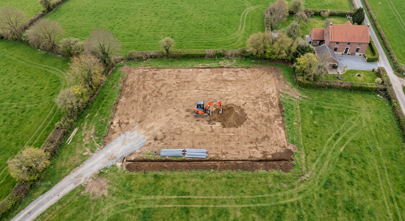
Plot scraped, drain trench open
Flight 2
SampleSlab and frame in place
Sample screens, invented site
One flat, sharp image of the whole site, stitched from the flight. The driveway, the drain line and the slab in a single view.
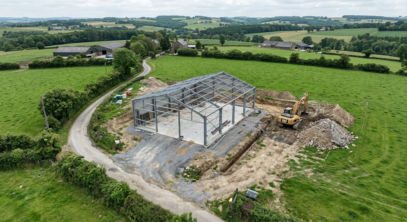
The same site as a model you turn and tilt in the browser. See spoil heaps, slopes and heights without going back out.
One flight covers a plot up to about two hectares: a farm building, a driveway, a drainage run or a field to level.
Sample screen, invented site
For the owner or site manager of a small construction, earthworks (terrassement) or agricultural building firm in Wallonia, two to twenty people. Rural plots, farm buildings, driveways, drainage and land levelling.
Site journal
Farm shed plot
Flight 2
Slab and frame in place
Flight 1
Plot scraped, drain trench open
Flight 1
SamplePlot scraped, drain trench open
Sample screens, invented site
The images below show an invented farm shed plot. Your journal page holds your own site.
Sample screen, invented site
One image of the site, stitched from the flight. Read the driveway, the drain line, the slab and the spoil heaps at a glance, from the office or from the cab.
Turn and tilt the site in your browser. Flights stack in the journal, so the next one opens right beside the last.
3D model
Farm shed plot
Flight 2
Turn, tilt and zoom in the browser
Flight 2
SampleSlab and frame in place
Sample screens, invented site
Site package
€490
one-time